Cynthia Linehan, with Ashland County EMA, released Ashland County Warming Center Locations for the upcoming weather, calling for snow with temperatures dipping down below zero, with winds of 25 to 35 miles per hour, with higher gusts. | Ashland County | https://www.facebook.com/AshlandCountyPictures/posts/pfbid0tb73PqRpUU1stwoATUCaNQjJ7Q4QfZ2Zi32dExTAnHYBxAcXTSquNPC4qP38qL8ml
Cynthia Linehan, with Ashland County EMA, released Ashland County Warming Center Locations for the upcoming weather, calling for snow with temperatures dipping down below zero, with winds of 25 to 35 miles per hour, with higher gusts. | Ashland County | https://www.facebook.com/AshlandCountyPictures/posts/pfbid0tb73PqRpUU1stwoATUCaNQjJ7Q4QfZ2Zi32dExTAnHYBxAcXTSquNPC4qP38qL8ml
From December 21, 2022
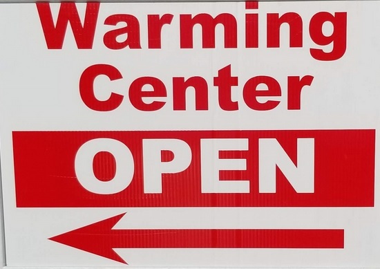
Ashland County Warming Center Locations
Cynthia Linehan, with Ashland County EMA, released Ashland County Warming Center Locations for the upcoming weather, calling for snow with temperatures dipping down below zero, with winds of 25 to 35 miles per hour, with higher gusts.
Trinity Lutheran Church (times vary) 508 Center St.
Ashland County Sheriff’s Office 1205 E. Main Street
Hayesville Fire Station 8 High Street
Savannah Fire Station 6 Haney St.
Kroc Center 527 E. Liberty, Thursday 5:15a.m. to 8p.m.; Friday 7:30a.m. to 12:30p.m.
Ashland Transit will provide rides 6a.m. to 9p.m. Thursday and Friday.
ISSUED: 12/20/2022 6:02 AM www.weather.gov/CLE OVERVIEW:
▪ High confidence continues for a multi-hazard storm system to reach the area Thursday night through Saturday.
▪ Significant winds and extreme cold, including dangerous wind chills, still appear to be the greatest threats from the storm.
There is very high confidence in strong winds across the region, including wind gusts above 40 mph on Thursday night in far NE OH and NW PA and 45-55 mph across the entire area Friday and Saturday. Winds could down trees and blow around unsecured items. Winds will pose a hazard to traveling high profile vehicles.
Winds would likely cause considerable blowing and drifting of any new snowfall.
Late Thursday Night into the Weekend
▪ There is very high confidence in very cold temperatures Friday through Sunday, including single digit or colder temperatures. Wind chills well below zero, including as low as -20 to -25°F, are possible Friday and Saturday night.
▪ There is still great uncertainty in how much snowfall to expect across the region at this time. However, accumulating snow is early Friday morning through early Saturday morning. Due to the immense size of the expected storm, snow could possibly extend into Saturday and Saturday night in the snow belt areas of Northeast Ohio and Northwest Pennsylvania.
Original source can be found here.
 Alerts Sign-up